Kona Hawaii Fishing Report – November 2019 wrap-up.
There really hasn't been any change since last month. Tourism is still in a big slump and the charter fishing industry is taking a big hit. I actually did pretty well in November for number of days out but on some of those days, I didn't see any other charter boats all day.
The ocean current direction and speed has always played the biggest role in fish abundance here and the current did get fickle for a while but with hardly any boats out, it was hard to tell what effect it had on the numbers of marlin biting.
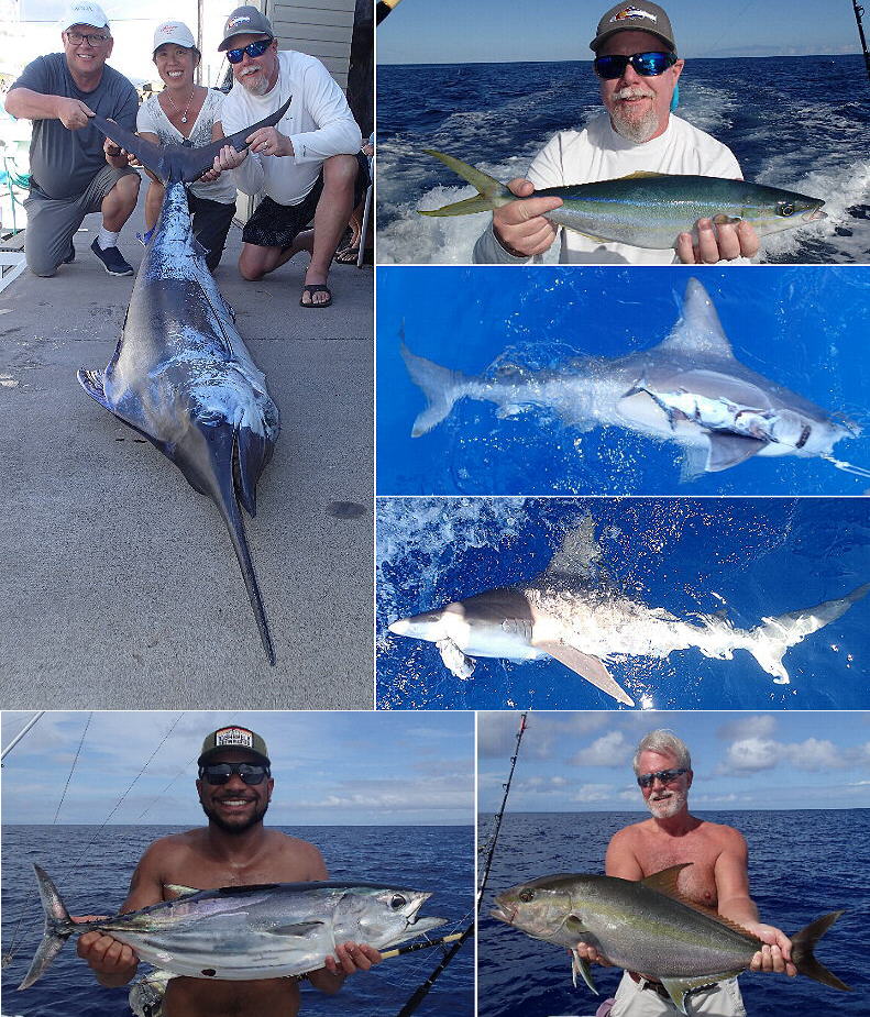
November was peak mahi mahi month. The season started off in October like it was going to be an OK season so I was looking forward to the peak. When the current switched, the mahi mahi pretty much disappeared. A couple of other fish did pick up the slack though. Ever hear of a rainbow runner? Another common name for the fish is "Hawaiian Salmon". It's actually a member of the 'Jack' family but is the only member in its genus. The meat is a pinkish color and light tasting with a nice texture. It's always been one of my favorites but the catch is rare and the size is usually small. Some good size ones are around right now. There is no fish flag for that fish so the catch of those is by word-of-mouth and watching the fillet tables. The other fish (I did say a couple) that took up the mahi mahi slack was otaru tunas.
Some days the bottom bite was hot and some days not. Even with less than 18 hours in between hitting the same spot. Real fishermen know this scenario all too well. Recently I found out about some new technology that I think is going to really change bottom fishing for me and possibly you for you too.
Smartphone (and tablet) apps are doing more and more. Although 'Sonar Chart Live' has been out for a few years, I just recently found out about it and got it. New chart plotters come with this ability built in but who can afford to go out and buy new boat electronics every time something new comes out? The smartphone version starts with the Navionics app. Then I bought a gizmo for $200 that sends my sonar MNEA 0183 depth data via WiFi to my smartphone. Now I'm able to "draw" the actual bottom terrain in detail to my smartphone chart plotter. The chart plotter that I have on my boat doesn't show me much detail at all but the Sonar Chart Live app gives me amazing detail. You can finally know the exact shape of that panicle or ledge that you always find fish on. I was able to access the detailed maps on my desktop computer by going to the Navionics web site, and then Chart Viewer. But those detailed lines are really just a computers guess. With Sonar Chart Live, your smartphone (or tablet) will change that map to what's actually down there! YouTube it and take a look.
See 'ya on the water,
Capt. Jeff Rogers,
http://FISHinKONA.com